Safety in the ski area
Two words, one motto: Safety first! When it comes to winter sports, safety is our top priority. Whether you are on the marked slopes, ski routes, or in open terrain, here you will find everything you need to know to make your day of skiing safe. From emergency numbers and slope rescue to safety measures and avalanche precautions, we provide you with all the relevant information. Be well prepared with these tips and tools.
Emergency numbers
The most important emergency numbers at a glance:
- Doctor: +43 (0) 5256 6423
- Police: +43 (0) 59133 7104 or 133
- Red Cross: 144
- Fire brigade: 122
- Mountain rescue - Alpine emergency call: 140
- European emergency call: 112
Slope rescue card
With our slope rescue card, you are on the safe side in terms of insurance: it includes free rescue and care across the entire secured ski area of Gurgl and Sölden during regular skiing hours. It can be booked at a small extra cost when you purchase your ski ticket online.
Safety measures in the ski resort
Everything that is visible, as well as precautions that take place in the background.
-
Slope markings, high-security fences: Our comprehensive safety setup includes slope markings, padding on lift supports and snow cannons, and fall protection at the edges of slopes. For this purpose, we have developed highly technical safety nets that are checked daily.
-
Avalanche commission: Our independent and autonomous avalanche commission meets daily to assess the situation and discuss conditions. If necessary, we carry out controlled explosions in the mornings to free slopes of dangerous snow loads.
- Closed lifts/slopes: Even if it isn’t immediately apparent, there is always a good reason for a slope being closed. This is necessary sometimes and is for everyone’s safety.
FIS rules
All winter sports enthusiasts should avoid acting in ways that could endanger or harm others.
All skiers and snowboarders must control and adapt their speeds according to skill level, terrain,weather conditions, and density of traffic.
Skiers and snowboarders coming from behind must choose their route in such a way that they do not endanger those in front of them.
Overtaking is allowed, but one must always allow sufficient distances, so that the overtaken person has enough room to move.
If you want to enter a descent or start again after a stop, you must ensure that it’s possible without danger to yourself and others.
Stopping should be avoided in narrow or unclear places. If there is a fall, the area should be cleared as quickly as possible.
When climbing or descending on foot, the edge of the descent route must be used.
Markings and signals must be respected.
In the event of an accident, there is an obligation to provide assistance.
After an accident, all parties involved and witnesses must provide their personal details, regardless of whether they are responsible or not.
Classification of difficulty levels
What do the colors of the slopes mean? We will explain what you can expect on blue, red and black runs, and ski tours.
- Easy slope (blue slope): The angle of this slope must not exceed 25% longitudinal and transverse slope, with the exception of short sections in open terrain.
- Medium difficulty slope (red slope): The angle of this slope must not exceed 40% longitudinal and transverse slope, with the exception of short sections in open terrain.
- Difficult slope (black slope): The slope of this slope exceeds the maximum values of the red slope. These steep ski slopes should only be used by highly experienced skiers.
- Ski route: A ski route is the intermediate stage between a prepared ski slope and open terrain. It is marked and secured against avalanches, but is not prepared by machine. This means that different conditions such as deep snow, moguls, or uneven terrain can occur. For this reason, ski routes are only suitable for experienced skiers and snowboarders.
Signposting alpine dangers & operating times
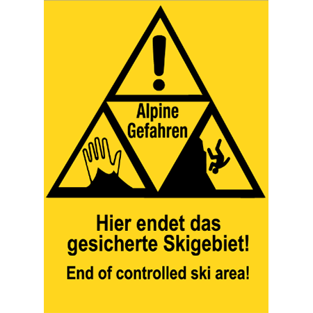 |
Alpine Hazards Make sure that you are in high alpine terrain. |
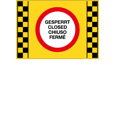 |
Avalanche danger If there is a danger of avalanches on a ski slope or ski route, it must be closed immediately. If all ski slopes/ski routes accessed by a lift have to be closed, the operation of the lift must be stopped and the use of winter sports equipment will be prohibited. Avalanche warning signs and flashing lights warn of these dangers and must be strictly observed. Closed ski slopes/ski routes: Skiing on such ski slopes and ski routes is prohibited without exception and may not be undertaken even at one's own risk. The avalanche commission is responsible for closing and opening ski slopes, routes, and roads depending on weather conditions. This commission consists of experienced and trained individuals who perform this task largely on a voluntary basis. |
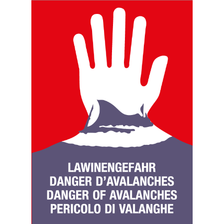 |
Avalanche hazard in the outdoor ski area In principle, when leaving the secured ski area (ski slopes, ski routes), alpine hazards, in particular the risk of avalanches, must be taken into account. In any case, we recommend finding out about conditions before driving. Every winter sports enthusiast is responsible for their own safety in the open ski area. If, according to the avalanche warning service's report, there is a high or very high risk of avalanches (level 4 or 5 on the European hazard scale), the avalanche warning lights on the panorama/orientation boards must be switched on. |
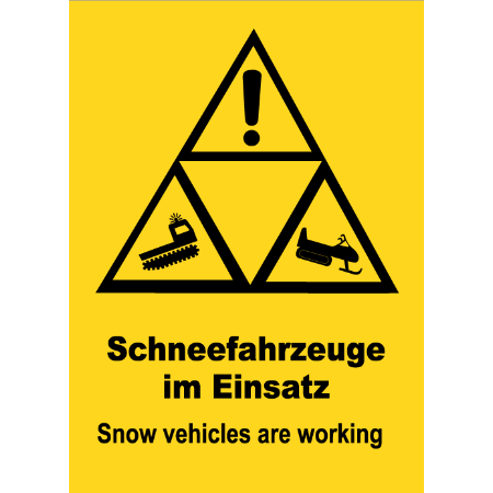 |
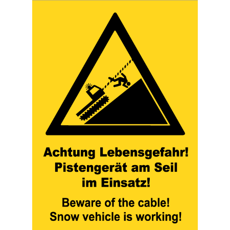
Operating times - Slopes out of service In the interest of your own safety, please note the information displayed at the ski lifts about operating times of the respective lift and ski slope. The last inspection of the ski slopes by the slopes service team takes place after the lifts have closed for the day. Outside of operating hours, the slopes are no longer secured against danger – extreme caution is advised! There is a risk of injury from slope preparation – ruts, winch ropes, exposed cables, and hoses from snow cannons. NO LIABILITY FOR ACCIDENTS! |
 |
Suspension of operations for safety reasons Extreme weather conditions (danger of avalanches, storms, etc.) sometimes make it necessary to suspend the operation of facilities or to close ski slopes or individual slopes. These measures must be taken for the safety and protection of the passengers to be transported, and are prescribed by the operating regulations of the Federal Ministry. |
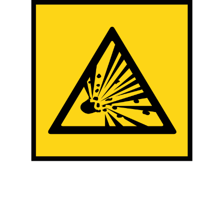 |
Blasting Avalanche control blasting is carried out throughout the ski resort at any time of the day or night after fresh snow falls, strong high winds, or radiation effects. Entering the area, except for the marked and open slopes and paths, is prohibited at this time. Warning signs and barriers as well as any instructions from barrier posts must be observed. |
Safety for freeriders
Top-class powder action: Thanks to its altitude and guaranteed snow, the winter ski resort often provides the first and last “Pow”-turns of the season. With a wide range of terrain, from wide, deep-snow slopes to narrow couloirs with cliff drops, the resort offers exciting terrain for freeriders of all levels.
In the high Alpine terrain of Obergurgl-Hochgurgl, the weather and wind set the pace. Those who venture away from the secured slopes must therefore adapt to the rhythm of nature. In addition to behaving safely in the backcountry, checking the avalanche and weather reports in advance is a part of this sense of timing. Your knowledge of freeriding safety should be up to date, as should your equipment. Obergurgl-Hochgurgl provides powder fans with facilities and tools to raise awareness and minimize risk.
ORTOVOX has also set itself the task of promoting avalanche prevention. To this end, a digital training platform for avalanche safety called SAFETY ACADEMY LAB SNOW has been set up, which includes video tutorials, learning tools, and useful information on the subject of avalanches. Rudi Mair and Patrick Nairz from the Tyrolean Avalanche Warning Service, who are among the most well-known avalanche experts in Europe, were also involved (among others).
At the following four locations in the ski area, you have the opportunity to check the functionality of your avalanche transceiver: 2x Festkogl, 1x Hohe Mut, 1x Wurmkogl.
What should you pack with your freeride equipment? What rules apply to freeriding? How can you minimize risk when planning and in the field? So many questions! The following avalanche risk checklist will help you keep an overview.
Freeride equipment
-
Avalanche transceiver
-
Avalanche shovel
-
Avalanche probe
-
First-aid kit
-
Mobile phone for emergency calls
-
Recommended: backpack with avalanche airbag system
Freeride basic rules
-
Daily check of the avalanche report
-
Never go off-slope without an avalanche transceiver; regularly practice searching for buried subjects
-
Never go off-slope alone, but also not never in very large groups
-
Check before dropping in: who/what is above me, who/what below me?
-
Descend extremely steep slopes one person at a time
-
Keep a greater distance when climbing in steep terrain
-
Poor visibility? Better to back out
Check 1: Advance planning
- Check the avalanche and weather reports
- What is the current avalanche warning level? Memorize danger spots
- What will the weather be like? What conditions can I expect in the area?
- Choose the area and tour according to the conditions
- Who is coming with you? Beginners or experienced freeriders?
- Check your equipment
Check 2: Observe and assess the terrain
- Is there fresh snow? If so, how much?
- Are there any warning signs? Carefully search for signs of danger such as fresh avalanches, snow couloirs, boom sounds, accumulations of wind-drifted snow, etc.
- Where are the favorable and unfavorable slope directions, where are possible danger spots?
- Recall and observe the avalanche report in the field
- Check the avalanche transceiver
- What are my freeride buddies doing: (in)careful behavior?
- Exhaustion or over-exertion and the associated falls?
Check 3: Single slope check & decisions
- Check the amount of fresh snow
- Is there fresh wind-driven snow?
- Does the slope have a gradient of 30 degrees and thus bear the threat of an avalanche? Is the slope one of the critical slopes and altitudes mentioned in the avalanche report?
- What if? Memorize possible escape routes in case of an avalanche (typical avalanche terrain: steep slopes interspersed with rocks, steep leeward and shaded slopes)
- Can I or my buddies make it down the powder slope quickly and without falling?
- Keep your distance
- Agree on meeting points
- 1 (Low): Triggering of an avalanche is only possible with high additional loads on very few, extremely steep slopes. No spontaneous avalanches (so-called slides) are to be expected. Generally safe conditions.
- 2 (Moderate): Avalanches are likely to be triggered by high additional loads, especially on the indicated steeper slopes. Larger avalanches are not expected. The snowpack is generally well bonded, except on some steep slopes. Careful route selection is required on the indicated steep slopes and routes.
- 3 (Considerable): Avalanches are likely to be triggered by even the slightest additional load, especially on the steep slopes indicated. Occasionally, some medium-sized and a few large-sized natural avalanches are possible. The snowpack is only moderately to weakly bonded on many steep slopes. Experience in avalanche assessment is necessary. Avoid the steep slopes and routes indicated if possible.
- 4 (High): Avalanches can be triggered by even the slightest additional load, especially on the indicated steeper slopes. In some cases, many medium-sized and multiple large-sized avalanches may occur. On many steep slopes, the snowpack is only weakly bonded. When choosing a route, limit yourself to moderately steep terrain and pay attention to avalanche run-out areas. A lot of experience in avalanche assessment is necessary.
- 5 (Very high): Numerous large natural avalanches are to be expected, even in moderately steep terrain. In ski resorts, it is no longer possible to operate safely at this warning level. The snowpack is generally weakly bonded and unstable. It is recommended that tours be avoided.
Find out the current avalanche danger level before a freeride tour! The Tyrolean Avalanche Warning Service provides a daily updated avalanche report (during the winter months) on the official website.
What is the slope angle at each avalanche warning level?
- Level 2: Avoid extremely steep slopes with a slope angle beyond 40 degrees
- Level 3: Avoid very steep slopes with a slope angle above 35 degrees
- Level 4 & 5: Avoid free riding completely
Stay away from steep, rocky terrain and do not jump from cornices. When in doubt, or if you have an uneasy (gut) feeling: skip the powder run or freeride tour – risking your life is never worth it. (This avalanche risk checklist includes input and information from powderguide.com)
The most important emergency numbers for an alpine accident in Austria are:
- 140 Alpine emergency
- 144 Rescue emergency
- 112 European emergency
Always start with the most important information – if the connection is lost, the rescue operation can still be started:
- WHAT happened? (avalanche, fall, etc.)
- WHERE is the emergency location? (town name, altitude, possible GPS coordinates)
- HOW are the injured? (unconscious, seriously injured, etc.)
Give your phone number to the operator and stay on the line until a rescue team arrives so the control center or helicopter can call back.
ATTENTION: Do not hang up. Follow the instructions of the control center. Only they should end the call. They can also provide important advice on how to care for the injured person.
SOS-EU-Alp App
Always stay safe with the SOS-EU-Alp emergency app! Designed for emergencies in alpine areas within Tyrol.