Bicycle Rides Bicycle Rides  · Ötztal Open

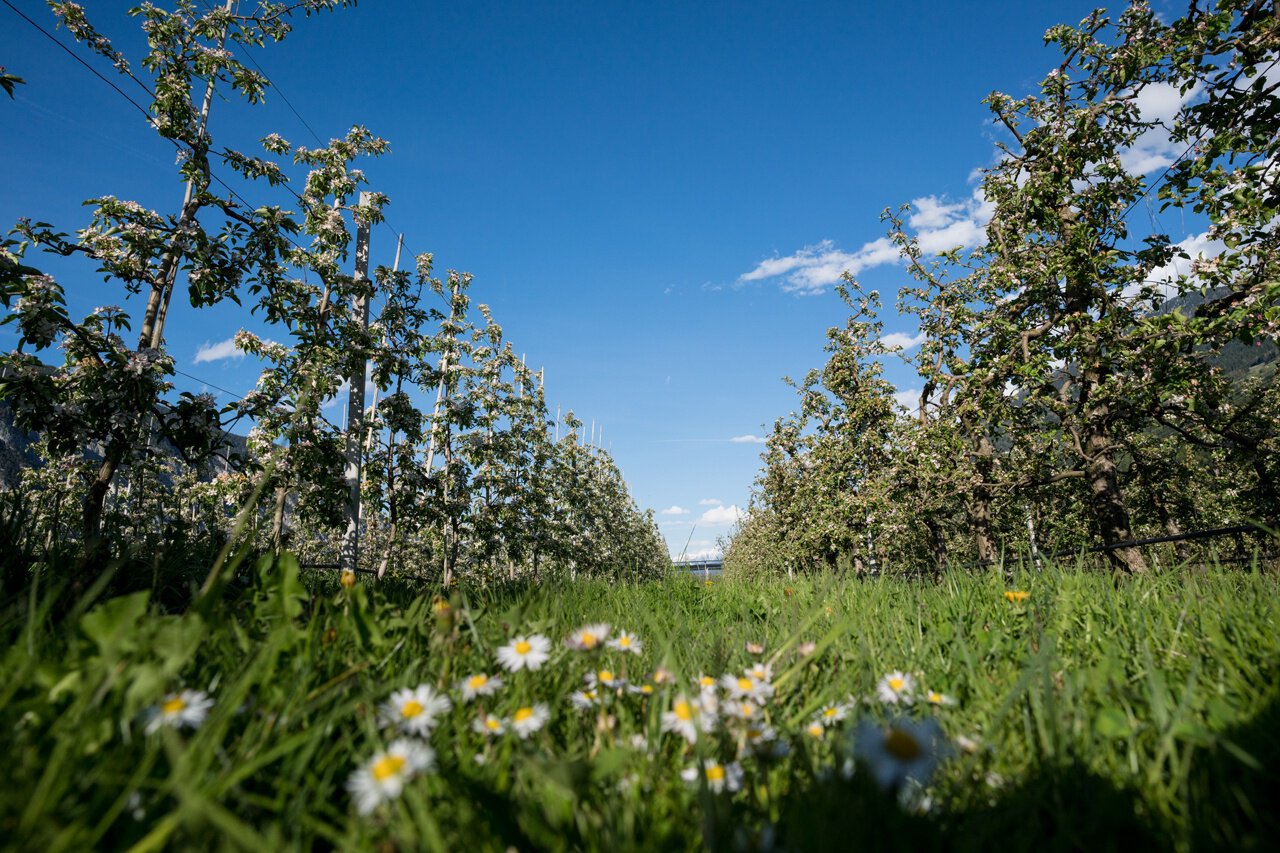
Familien Radtour Haiming Apfelmeile

Logo Ötztal
Responsible for this content
Ötztal Verified partner 
  • Apfelblüte in Haiming
    Apfelblüte in Haiming
    Photo: Katharina Nösig, Ötztal

Selected alternatives for you
    Open
    Distance 9.3 km
    0:40 h
    22 m
    22 m
    668 m
    646 m
    Profile picture of Leopold Holzknecht
    Author
    Leopold Holzknecht
    Logo Ötztal
    Responsible for this content
    Ötztal  Verified partner 
    Highest point
    668 m
    Lowest point
    646 m

    Track types

    Asphalt 81.93%Dirt road 8.29%Forested/wild trail 3.53%Road 6.23%
    Asphalt
    7.6 km
    Dirt road
    770 m
    Forested/wild trail
    328 m
    Road
    579 m
    Show elevation profile

    Rest stops

    E-Bike Ladestation Apfelmeile Haiming- von Mittwoch 12.03 bis Donnerstag 17.04 aufgrund von Grabungsarbeiten der TINETZ gesperrt
    Gasthof Rafting Alm
    Rest stop
    Tip
    Nearby
    Top Partner
    Waypoint
    Start point
    End point
    Low point
    High point
    Forecast
    Today {low} to {high} and {precipitation} of {precipitation_type}
    show {x} more
    Photo
    Video
    E-Bike Ladestation Apfelmeile Haiming- von Mittwoch 12.03 bis Donnerstag 17.04 aufgrund von Grabungsarbeiten der TINETZ gesperrt
    Gasthof Rafting Alm

    Coordinates

    DD
    47.260159, 10.877812
    DMS
    47°15'36.6"N 10°52'40.1"E
    UTM
    32T 642065 5235785
    w3w 
    ///willpower.infamously.wrestle
    Get there by train, car, bike, or on foot!

    Similar routes nearby

    • Ötztal Cycling Path Stage 1: Haiming - Oetz
    • Ötztal cycle route stage 2: Oetz - Umhausen
    • eBIKEPARK Oetz - Training area
    • Ötztal Cycle Path stage 3: Umhausen - Längenfeld
    • Ötztal cycle path stage 4: Längenfeld - Sölden
     These suggestions were generated by our system
    Status
    Open
    Distance
    9.3 km
    Duration
    0:40 h
    Ascent
    22 m
    Descent
    22 m
    Highest point
    668 m
    Lowest point
    646 m

    Statistics

    • Content
    • Show images Hide images
    Features
    Maps and trails
    Nothing selected - click and drag in the elevation profile to zoom
    Distance
    Duration
    Ascent
    Descent
    Elevation profile