


Ötztal Trek Route 6
Description
STAGE 21 – 22
Frischmannhütte (2,192 m) – Fundusfeiler (3,079 m) – Erlanger Hütte (2,541 m) – Forchheimer Route – Maisalm (1,631 m) – Ötztal Station (704 m)
Map & elevation profile
The Tour
STAGE 21 – 22
Frischmannhütte (2,192 m) – Fundusfeiler (3,079 m) – Erlanger Hütte (2,541 m) – Forchheimer Route – Maisalm (1,631 m) – Ötztal Station (704 m)
ACROSS GEIGENKAMM – FORCHHEIMER ROUTE
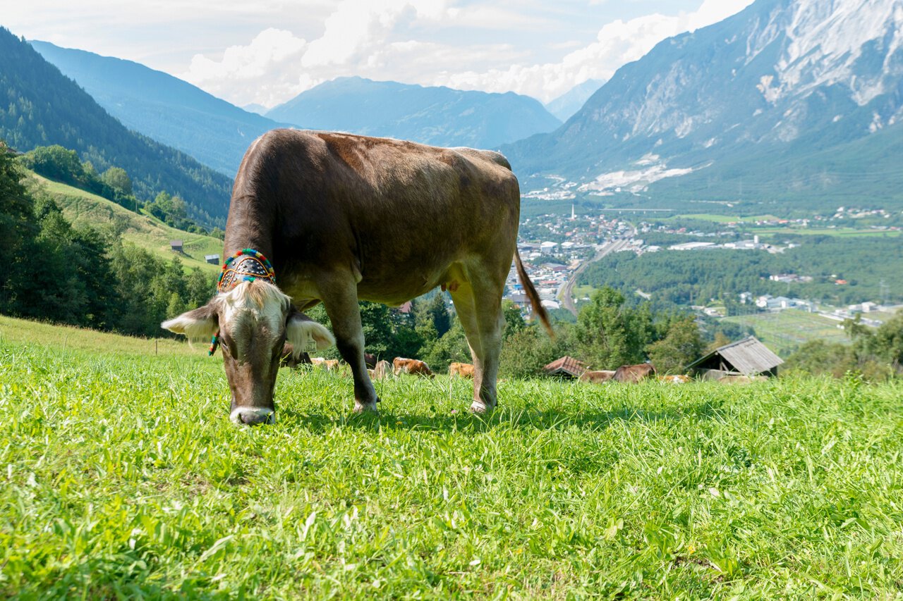
Elevation gain: 1,750 m ascent; 3,250 m descent Distance: 29 km
The last route of the Ötztal Trek takes place over 2 stages, whereby it makes sense to stay overnight during the last stage. Otherwise, one would have to manage about 2,350 m of descent in one day! From the Erlanger Hütte, the very scenic Forchheimer Route continues!
Regions & Places
Mountain areas
Details
Characteristics
Way types
Additional information
Access – from Umhausen to Frischmannhütte (about 3.5 hours ascent; alternatively taxi shuttle from Umhausen to Hintere Fundusalm – then about 30 minutes ascent to Frischmannhütte) Taxi Scharfetter T +43 (0) 5255 5858
More information about hiking in Ötztal: https://www.oetztal.com/wandern
Directions
Stage 21:
First, you hike from the hut into the Funduskar. The good trail then runs in steep terrain in switchbacks up to just below the Fundusfeiler gully and goes into the gully. It is almost a mountaineering obligation to add about 150 m more elevation at the Feilerscharte and to climb the 3,079 m high viewpoint Fundusfeiler. Then it goes down north into the so-called “Black Hole”. Afterwards, keep right at a route fork and hike through beautiful alpine pasture terrain west above the Leierstal. The trail later winds in switchbacks up a steep slope to a kind of saddle. Beyond that, the crystal-clear Wettersee appears, one of the most beautiful mountain lakes in the entire Ötztal. We go down a few meters to the lake and reach the Erlanger Hütte in a few minutes.
Stage 22:
On the route from the Erlanger Hütte via the Forchheimer route to Ötztal Station, it is highly advisable to stay overnight at the Maisalm, as otherwise more than 2,350 m of descent would have to be managed in one day. From the hut, it goes north down until we cross the slopes outward. On a trail, it goes up to a ridge and beyond steeply into the innermost Tumpental. We ascend to the Murmentenkarjoch.
Beyond there, the route descends northwards to the small Forchheimer bivouac box (emergency shelter, accessible without a key, four beds, 3 h). It goes down along the ridge; the Hahnenkamm is bypassed on the east side. Then it continues to the Vorderer Geigenkamm, from where the trail leads to the Mutkopf and the Muthütte (not managed). On a cart track further down to the Maisalm (6 h from Erlanger Hütte) – overnight stay here (reserve in advance). Via a drive and footpath and then again via a drive path, we reach the valley town of Roppen the next day. There we hike east along the drive path next to the railway line and follow the Ötztal bike path along the Ötztaler Ache to Ötztal Station.
Arrival
Public transit
Travel comfortably and safely by train to the Ötztal station. The final stop or exit point is the ÖTZTAL station. Afterwards, you can travel conveniently and quickly through the entire valley to your desired destination by public transportation or local taxi companies! The current bus timetable is available at: http://fahrplan.vvt.at
Starting point
Getting there
Umhausen is located in western Austria in the state of TIROL, in a southern side valley of the Inn valley - the ÖTZTAL. For your car journey, plan the optimal travel route from your hometown with the route planner online: https://www.google.at/maps
Parking
The following parking options are available in Umhausen:
- Umhausen Parking Mure - free of charge
- Umhausen Bischoffsplatz - paid from 07:00 to 18:30
- Köfels Parking Lot (paid)