

Seenplatte - Obergurgl
Map & elevation profile
The Tour
OBERGURGL -> SEENPLATTE
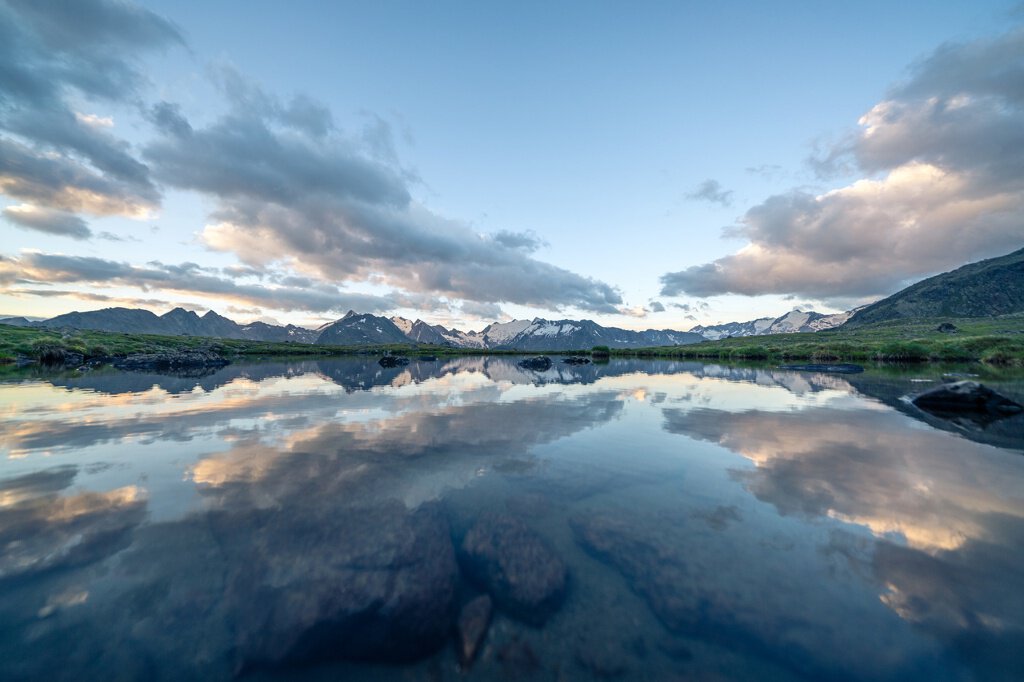
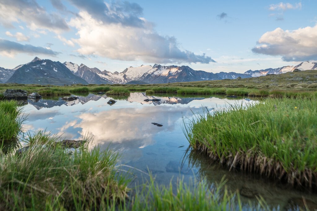
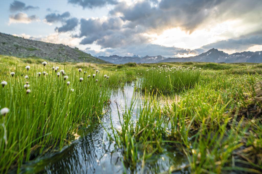
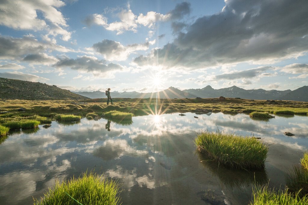
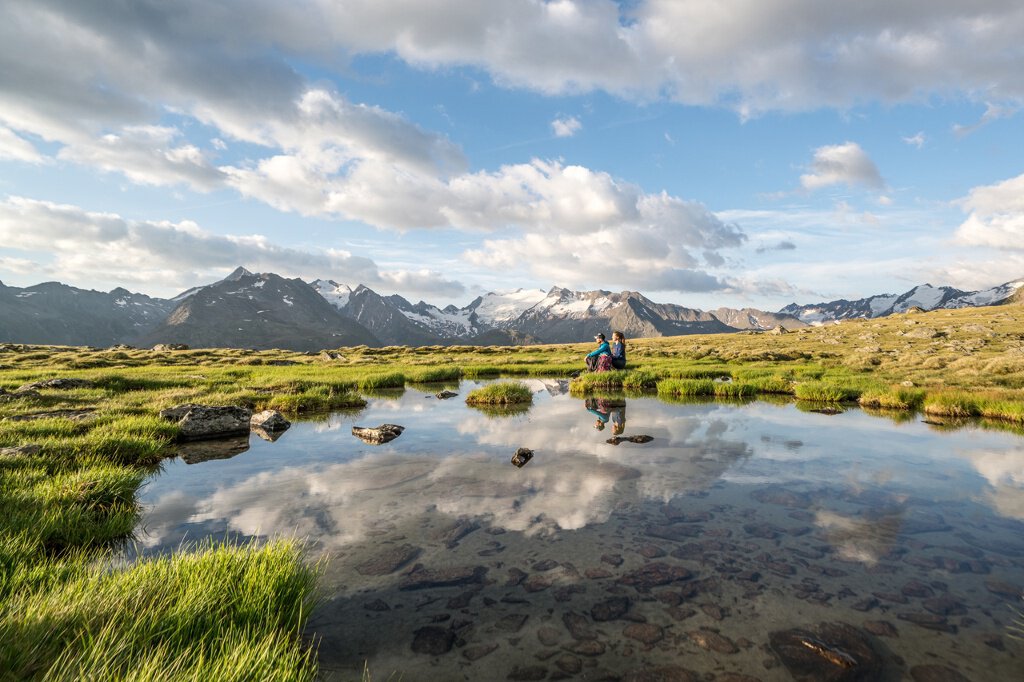
The beautiful hiking path leads over the Pirchhütter Ach bridge to the Seenplatte. Along the steep but very beautiful mountain slope, lush green meadows invite you to a short break.
Regions & Places
Mountain areas
Details
Characteristics
Way types
Safety guidelines
Good physical condition, mountain experience, and mountain equipment (see equipment section) necessary. Please check the current weather report at: https://www.oetztal.com/de/sommer.html.
Hiking difficulty
Additional information
More information about hiking in the Ötztal: https://www.oetztal.com/wandern
Directions
The beautiful hiking path leads over the Pirchhütter Ach bridge to the Seenplatte. Along the steep but very beautiful mountain slope, lush green meadows invite you to a short break.
Arrival
Public transit
Travel comfortably and safely by train to the Ötztal train station. The final stop or exit point is the ÖTZTAL station. Afterwards, you can easily and quickly continue by public transport or local taxi companies through the entire valley to your desired destination! The current bus schedule is available at: http://fahrplan.vvt.at
Starting point
Getting there
Driving into the ÖTZTAL. Located in Tyrol, the Ötztal branches off to the south as the longest side valley of the Eastern Alps. Traveling by car leads visitors via the Inn valley to the entrance of the valley and further along the Ötztal. In addition to the toll motorway, country roads can also be used. Your route can be quickly and conveniently planned with the route planner: Route planner: https://www.google.at/maps.
Parking
- Parking garage village center Obergurgl (go down right in front of the church), paid | € 2.00 first hour, for every additional 1/2 hour € 1.00 up until max. € 16.00 for 24 hours
- Parking garage village entrance – Festkoglbahn valley station, paid | € 6.00 from 8:00 am to 8:00 pm, € 10.00 from 8:00 pm to 8:00 am
- Parking lot Hochgurglbahn valley station, free – no overnight parking
- Parking lot Top Mountain Crosspoint, free
Current information
Midsummer-like hot
The tour is within these protected areas.
Equipment
Appropriate equipment such as breathable and weather-appropriate outdoor clothing, ankle-high hiking shoes, wind, rain and sun protection, a hat, and possibly gloves, is required for all hikes and routes. It is necessary to bring a first aid kit, a mobile phone, and possibly a hiking map, as well as sufficient provisions for hikes without any stops for food.