


Thematic Trail
Zauberwald Sautens
Sautens
Top
Easy
Key facts
1:00 h
Duration
2.53 km
Length
93 m
Ascent
93 m
Descent
800 m
Max. altitude
816 m
Min. altitude
Best Season
Jan
Feb
Mar
Apr
May
Jun
Jul
Aug
Sep
Oct
Nov
Dec
Map & elevation profile
The Tour
SAUTENS -> Church -> Drei-Kirchen-Blick -> Zauberwald -> SAUTENS
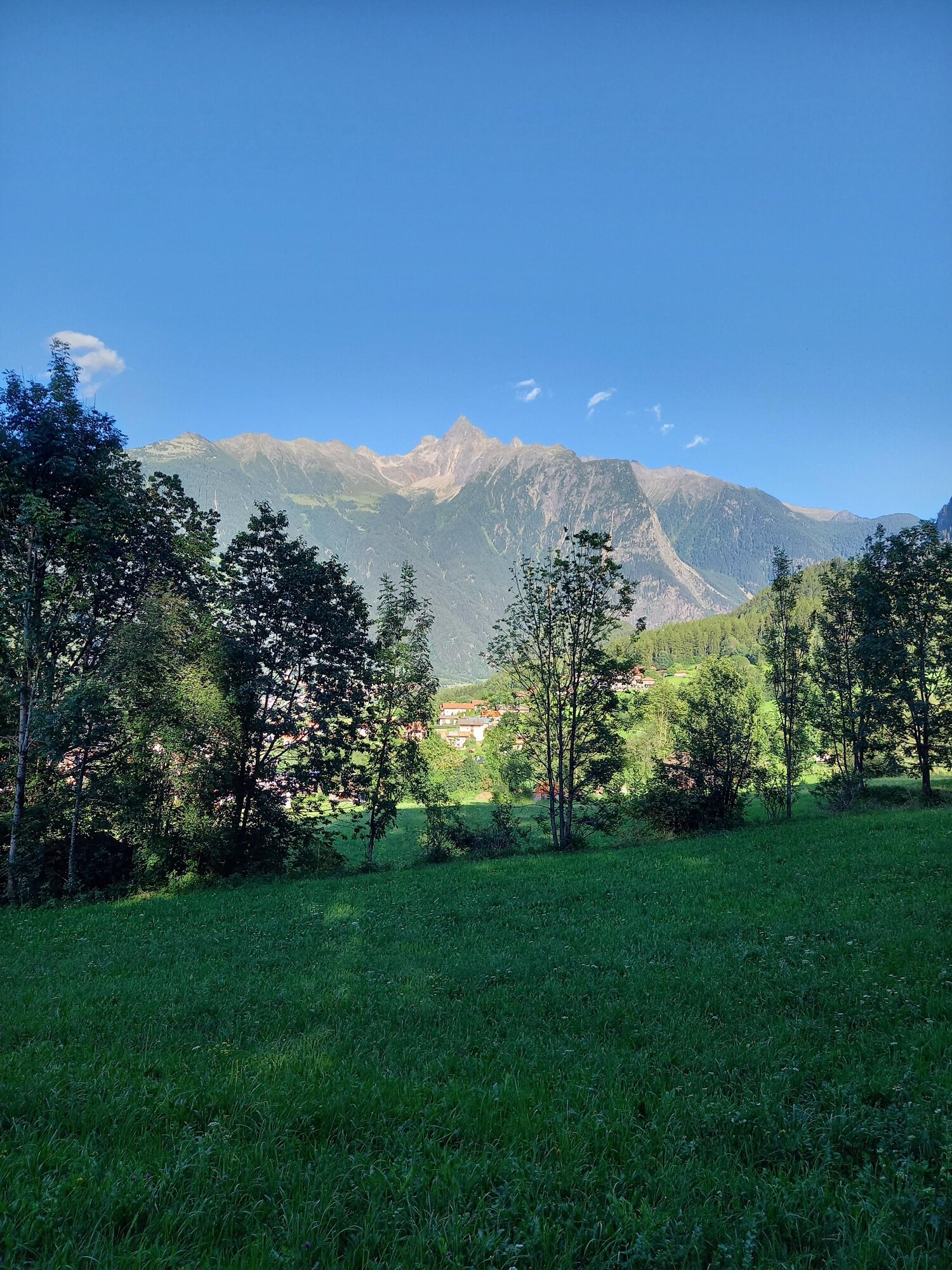
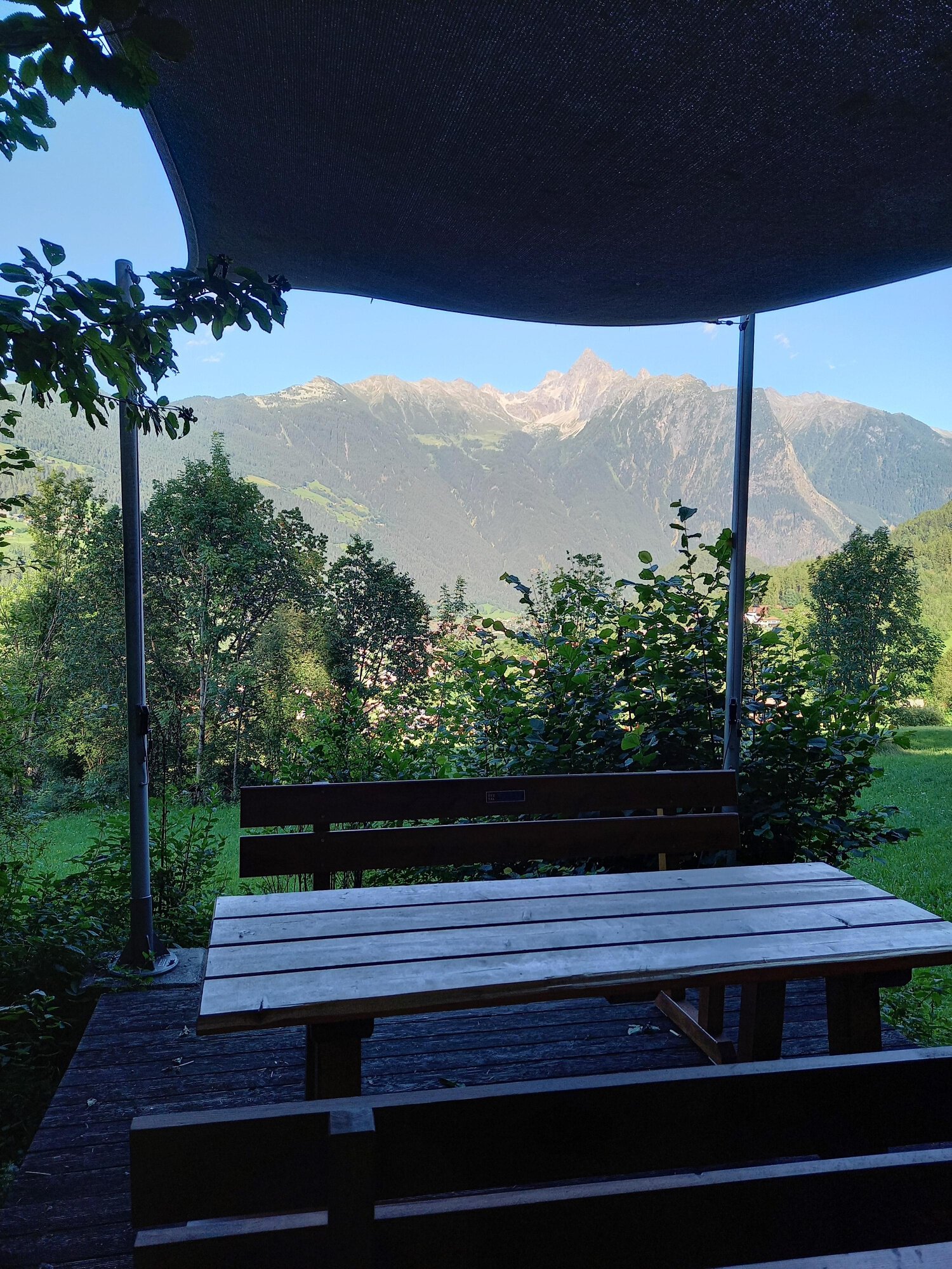
From the church, walk up along the edge of the forest to a wooden bench, keep left there and continue following the path along the edge of the forest to the Drei-Kirchen-Blick rest area. The viewing platform with seating invites you to linger and recharge your energy. A little further on is the forest playground.
Author's tip
Enjoy the view of the churches of Sautens, Oetz and Oetzerau from the "3-Kirchen-Blick" platform.
Enjoy the view of the churches of Sautens, Oetz and Oetzerau from the "3-Kirchen-Blick" platform.
Regions & Places
Austria (Country)
Tyrol (Province)
Bezirk Imst (District)
Ötztal (Tourism area)
Sautens (Commune)
Mountain areas
Alps (Mountain area)
Ötztal Alps (Mountain area)
Modified at 24.03.2026 · Created at 24.08.2016
Details
Characteristics
Round trip
Family-friendly
Accessibility
Suitable for strollers
Way types
Safety guidelines
Easy hiking trail; suitable for beginners and walkers. Please check the current weather forecast at: https://www.oetztal.com/en/summer.html
Additional information
More information about hiking in the Ötztal: https://www.oetztal.com/wandern
Recommended maps
Kompass #043 | Ötztal Alps Ötztal, Pitztal | 1:50,000
Directions
From the church, walk up along the edge of the forest to a bench, keep left there and continue following the path along the edge of the forest - until the Drei-Kirchen-Blick rest area. A little further on is also the forest playground.
Arrival
Public transit
Travel comfortably and safely by train to the Ötztal train station. The final stop or getting off point is the ÖTZTAL station. Afterwards, you can conveniently and quickly travel through the entire valley to your desired destination by public transport or local taxi companies! The current bus timetable is available at: http://fahrplan.vvt.at
Starting point
Sautens
Getting there
The car journey into the ÖTZTAL. Located in Tyrol, the Ötztal branches off to the south as the longest side valley of the Eastern Alps. The journey by car leads vacationers through the Inn Valley to the valley entrance and continues along the Ötztal. In addition to the toll motorway, country roads can also be used. Your drive can be quickly and conveniently planned with the route planner: To the route planner: https://www.google.at/maps
Parking
The following parking options are available in Sautens:
- directly in front of the town hall - free of charge
- at the sports ground/cross chapel/Kalkofen adventure facility - free of charge
- in front of the primary school/kindergarten, Kirchblickweg - free of charge
Current information
Tuesday, 28.07.
Bright and sunny
Significant warming
Significant warming
Morning
13 °C
0%
Rainfall risk
Afternoon
31 °C
10%
Rainfall risk
Wednesday, 29.07.
Sun, clouds and warm, low risk of thunderstorms
Morning
18 °C
20%
Rainfall risk
Afternoon
32 °C
50%
Rainfall risk
Equipment
Appropriate equipment such as breathable and weather-appropriate outdoor clothing, ankle-high hiking boots, wind, rain and sun protection, a hat, possibly gloves, is required for all hikes and routes. Carrying a first aid kit, a mobile phone and possibly a hiking map, as well as sufficient provisions for hikes without the possibility of stopping for food, is necessary.