


Nissl Alm - Längenfeld/Gries
Description
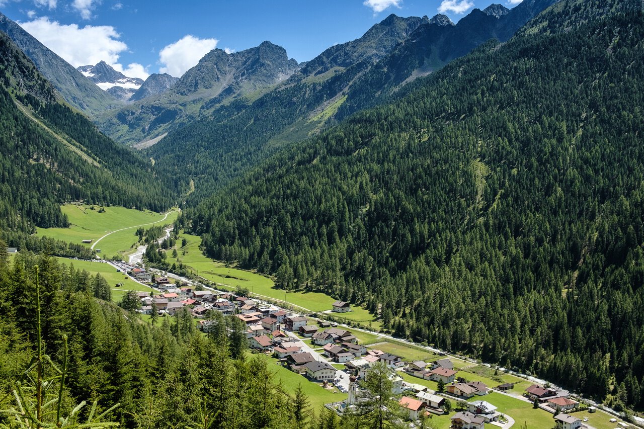
GRIES PARKING LOT -> towards Nissl Alm -> NISSL ALM
Increased truck and car traffic on the entire Sulztalweg.
Driving times:
Trucks: Mon – Fri from 06:00 – 22:00
Cars: all day
Map & elevation profile
The Tour
GRIES PARKING LOT -> towards Nissl Alm -> NISSL ALM
Increased truck and car traffic on the entire Sulztalweg.
Driving times:
Trucks: Mon – Fri from 06:00 – 22:00
Cars: all day
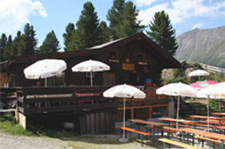
Variant 1: The hike starts from the parking lot at the end of Gries. You follow the meadows in the direction of "Vögelasbrücke". Passing it, you turn right at the crossroads after the first bends. The wide forest road leads partly through the forest, finally through alpine meadows to the rustic Nissl Alm.
Variant 2: The path starts directly from the town center. Over the Fischbachbrücke you reach the holiday home "Tiroler Hütte". Here begins the very steep shortcut path. It first leads through shady forest, then through alpine meadows to Nissl Alm.
Bronze relief section of the Ötztal Nature Park at the start of the path: Here you can learn about the habitat "Wild Water" or the history of Gries.
Regions & Places
Mountain areas
Details
Characteristics
Way types
Safety guidelines
Moderate mountain trail; suitable for sure-footed and experienced mountain hikers; good physical condition, mountain experience, and mountain equipment (see under Equipment) necessary. Please observe the current weather forecast.
Additional information
More information about hiking in the Ötztal can be found here.
Directions
Variant 1: A wide forest road leads gently uphill with many bends through the forest and finally through alpine meadows to Nissl Alm.
Variant 2: A steep path leads from the town center via a shortcut through the forest and finally over alpine meadows to Nissl Alm.
Arrival
Public transit
Public transport
Travel comfortably and safely by train. The final stop or exit point is ÖTZTAL train station. Afterwards, you can travel conveniently and quickly by public bus or local taxi companies throughout the valley to your desired destination. The current bus timetable is available at: http://fahrplan.vvt.at
Starting point
Getting there
Car journey to the ÖTZTAL
The arrival by car takes visitors over the Inn Valley to the valley entrance and along the Ötztal. Besides the toll motorway, country roads can also be used. With the route planner, your trip can be quickly and conveniently determined. To the route planner: https://www.google.at/maps
Parking
The following parking options are available in Gries:
Parking lot at the end of the village – paid
Current information
Not too warm
Significant warming
The tour is within these protected areas.
Equipment
Appropriate equipment such as breathable and weather-appropriate outdoor clothing is required for all hikes and routes. Bringing a first aid kit, a mobile phone, and possibly a hiking map, as well as sufficient provisions for hikes without the possibility to stop for refreshments, is necessary.